")
")
")
")
")
")
")
")
")
")


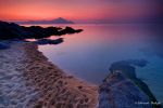
Explore Sithonia
Following the coast road from Nea Moudania eastwards, after 37 km., or from Polygyros south-southeast, also after 37 km. we arrive at Nikiti, the biggest town in the area that houses the City Hall of Sithonia and has been named after St. Nikitas’ church of the 16th century.
Nikiti Information area
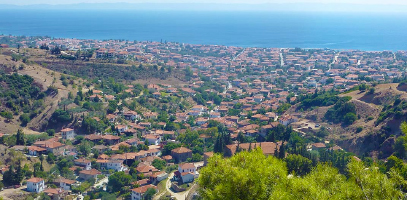 Nikiti with its recent rapid development has turned out to be an attraction pole to tourists, also due to the traditional colour of the 3-day fair on St. Nikitas’ name day (September 14-16), as well as to the international swim crossing between the first and the second peninsula on Toroneos gulf that the Municipality of Sithonia together with the Cultural Youth Association of Nikiti organize every year on the last Sunday of July.
Worth seeing : -The old part of the town, on its north side, with the traditional Macedonian style buildings with characteristic chimneys which one can visit any time of day. – St. Nikitas’s church, built in 1867. – The old school. – The ruins of the Basilika type church of Sofronios, a 16th century church with excellent mosaics, at 2,5 km. southeast of Nikiti.
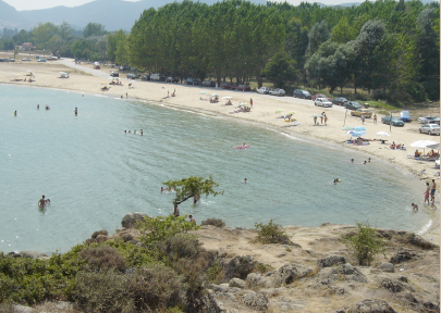
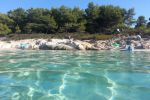
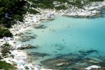
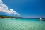
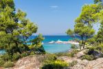
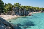
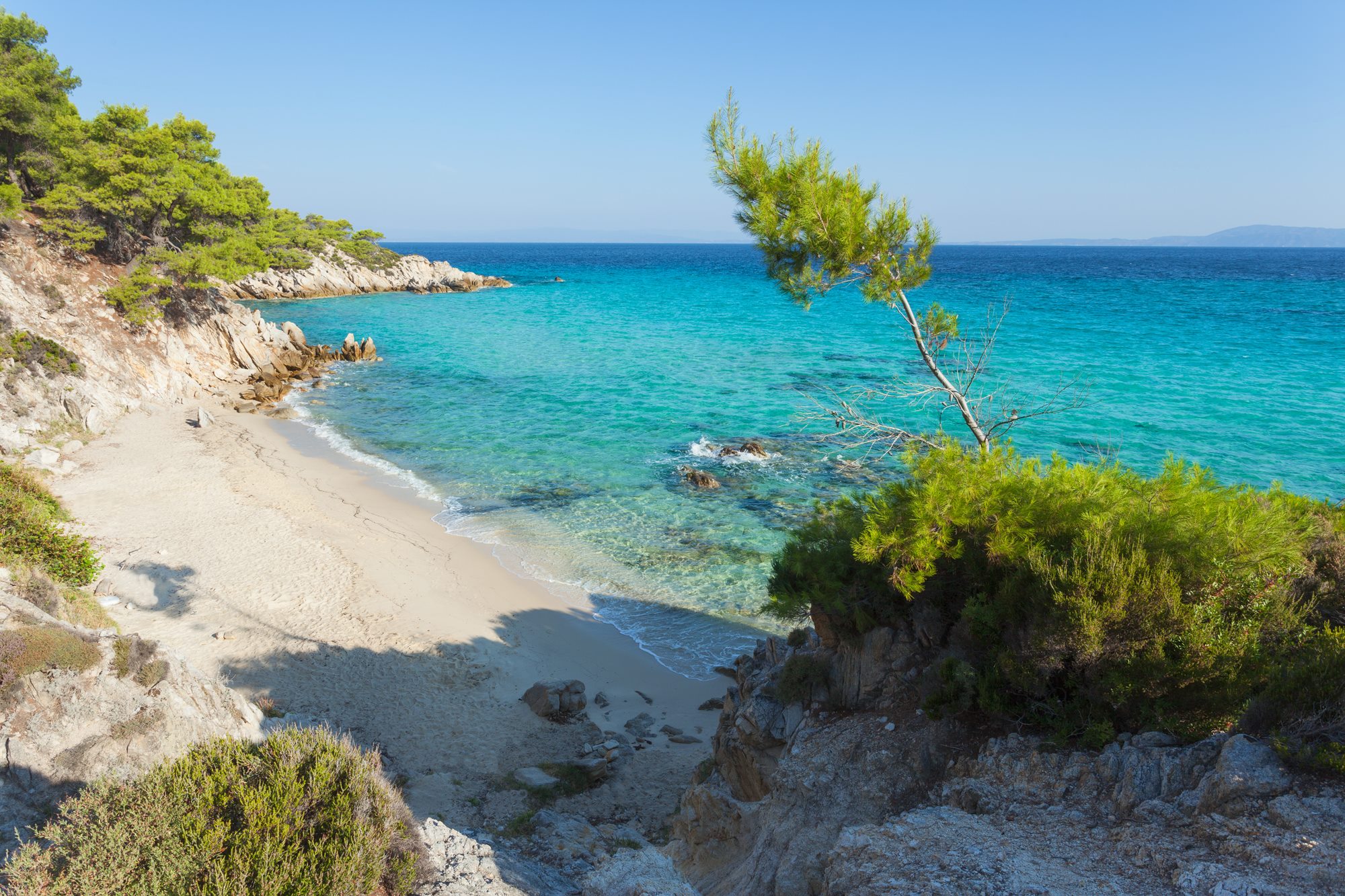
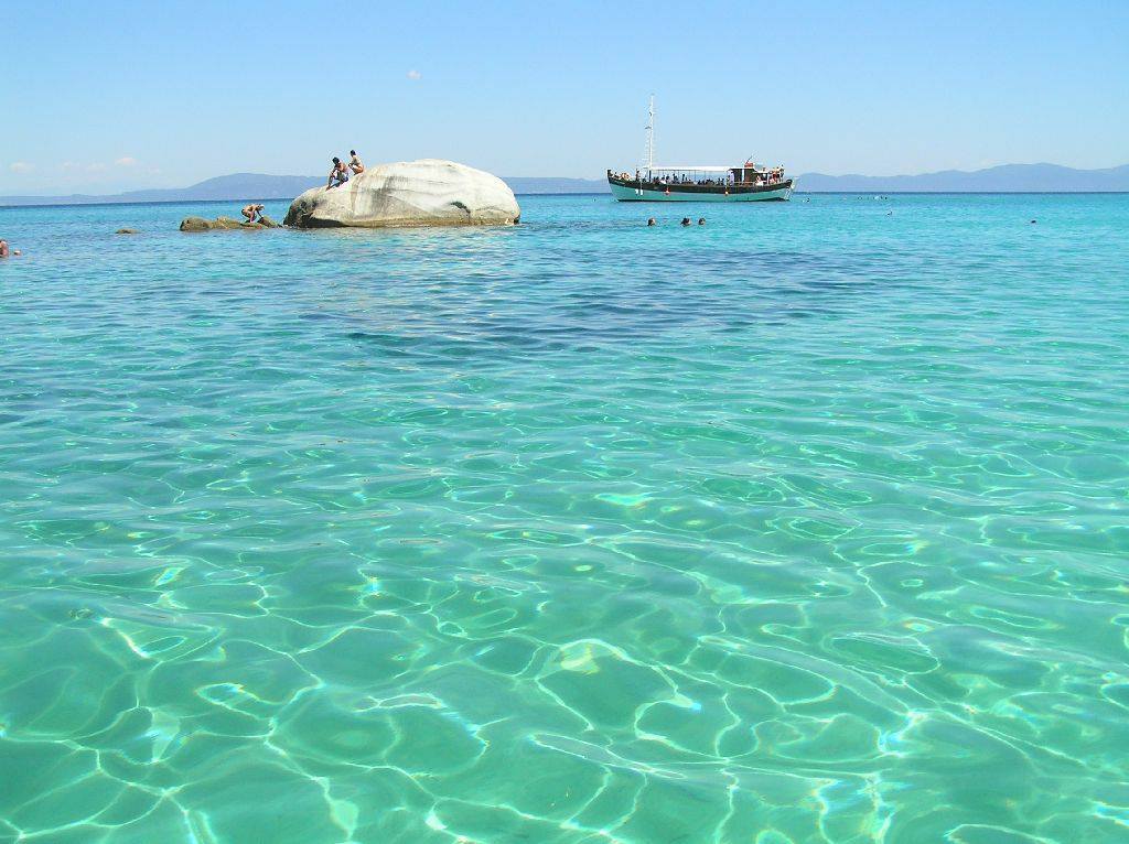
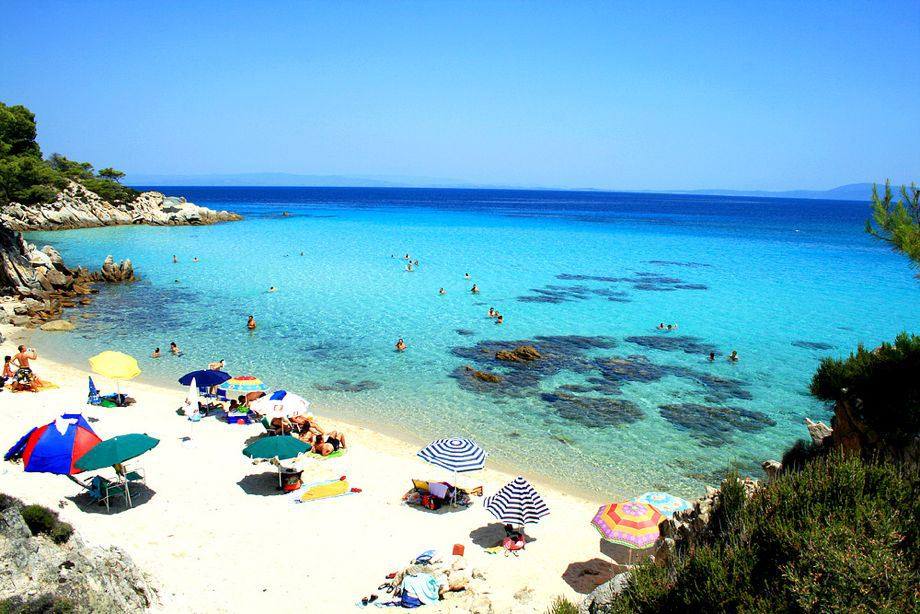
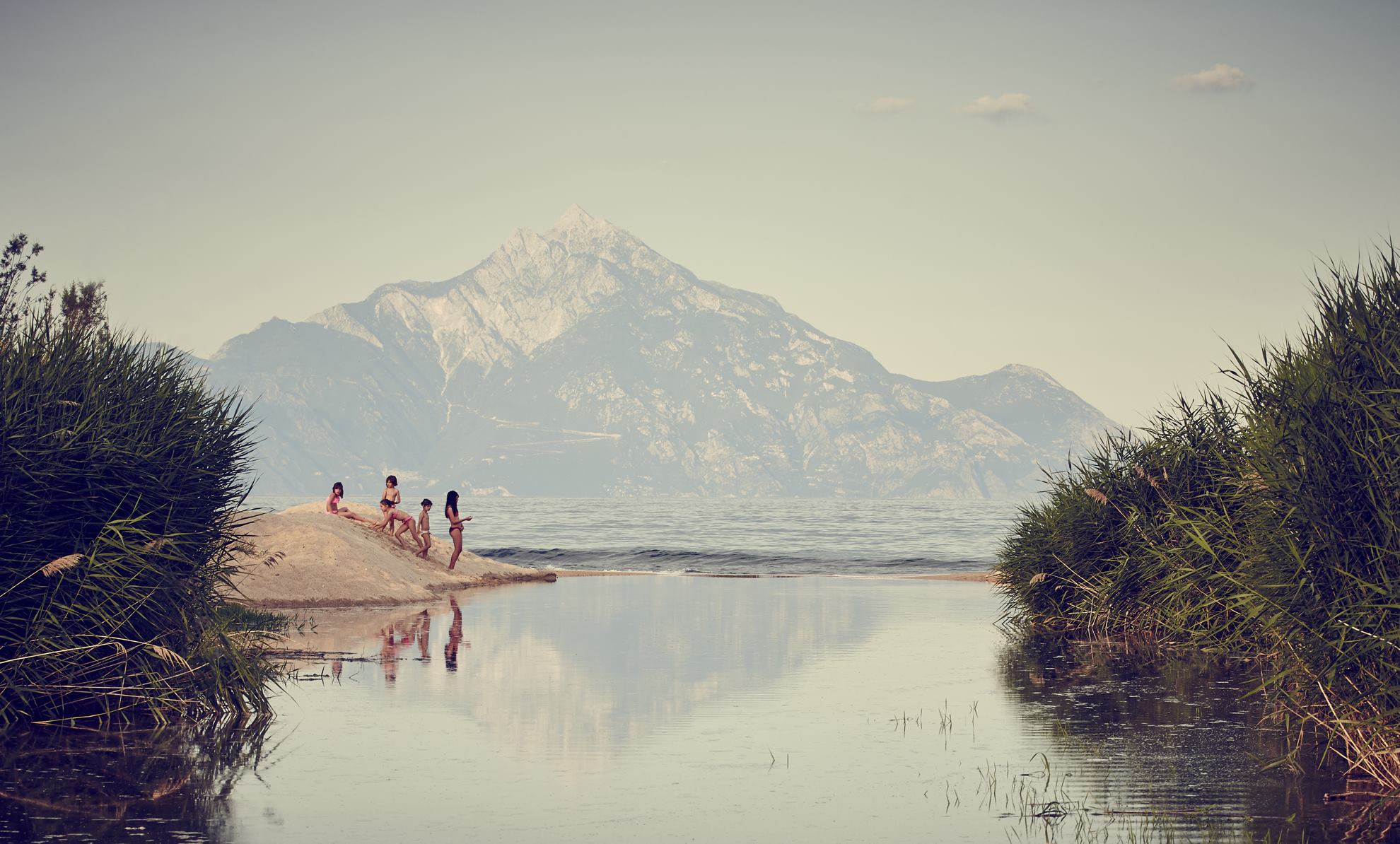
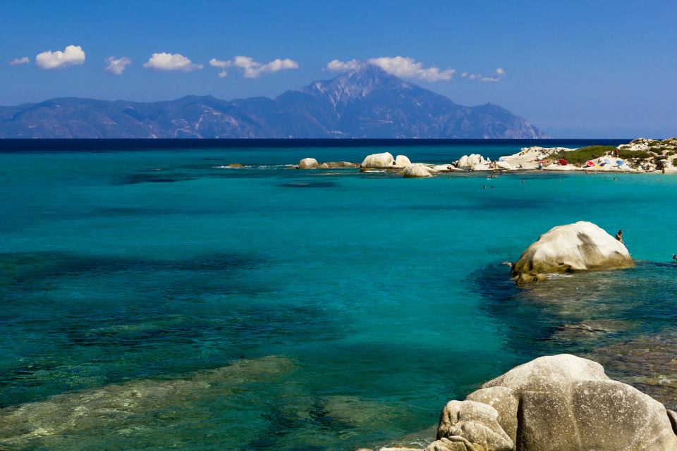
Two km. after Nikiti, the road is divided into two again. If we continue south following the country coast road facing an enchanting scenery, we can admire the transparent bluegreen waters of the small bays of Toroneos gulf looking down from the top of the ribbon road lining the foot of the mountain of Sithonia with its rich flora. We are going over the magnificent beaches Kastri, Ai-Giannis, Koviou, the famous beach of Kalogria with the water sports, also Elia, Lagomandra and the continuous lacy beaches with the modern camping grounds, as well as the picturesque beaches Tripotamos, Azapiko, Koutsoupia and Paradise just outside Neos Marmaras. Besides, at 8 km. from Nikiti, on our left, up on the mountain there is the settlement of Aghios Pavlos with the monastery of Aghia Fotini and at 18 km. from Nikiti, just beside Marmaras, the traditional settlement of Parthenon that reminds us of a pre-1960 settlement.
 Walking mountain routes (7) in Sithonia 1
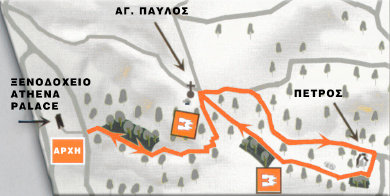
Walking mountain routes on the all green mountain Itamos start from various parts of the coast. Kalogrias Bay in Nikiti Area. An easy hiking track that goes up to a great height starts (ΑΡΧΗ) from the road on Hotel Athena Palace and leads us to the church of Apostle Paul (ΑΓ.ΠΑΥΛΟΣ) next to which there is an ancient spring with crystal clear water. It is said that Apostle Paul, passing from there and feeling thirsty, prayed to God, hit the ground with his stick and ever since the spring keeps pouring water. Continuing our walking route we arrive through narrow tracks full of pines to Petros (ΠΕΤΡΟΣ), a rock from the top of which one can view both sides of the peninsula. (Altitude 298m)
.
Walking mountain routes (9) in Sithonia 2
One more long but impressive 4 hour walking route starts from Neos Marmaras to visit the traditional settlement Parthenonas (ΠΑΡΘΕΝΩΝΑΣ) passing first through an old watermill with a dam and then through olive trees and forests to return to Neos Marmaras, either by the same track back or by a steeper trail parallel to a small river (4 hours, elevation 360m)
Neos Marmaras Information area
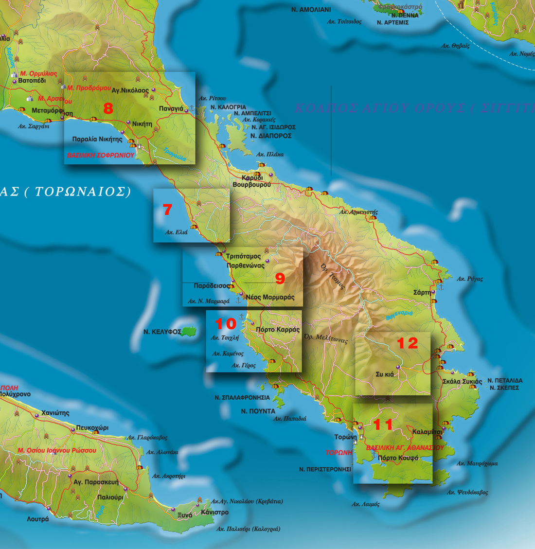
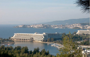 Neos Marmaras, at 126 km. from Thessaloniki and 55 km. from Polygyros, with the forest mountain Itamos above it and the small (1 square km.) turtle shaped but full of pines island Kelyfos in its bay, is the most cosmopolitan resort in Sithonia. The four natural bays succeeding one another compose the backbone of the town. It has had a remarkable development during the last years, especially after the establishment of Porto Carras next to it, only 2 km. souther, in 1970.
Porto Carras, which owns an area of 17 million m2 full of olive trees, vines and other plantations, produces excellent wines that are exported abroad and includes a big complex of hotels, a marina, an helicodrome, water sports, horse riding camp, seatherapy center & spa and a casino.
Beaches nestle at the bottom of Mount, which is dotted with citrus, almond and pine trees along with the grapes that go into making the globally known Carras wines. Sample them at the local wine-tasting center, which is a part of the famous Porto Carras tourist resort.
Walking mountain routes (10) in Sithonia 3
From Porto Carras we can also go hiking on a route that starts at the marina, follows the coastline through forest tracks and along small sandy bays and finally climbs up the mountain through Porto Carras’s vineyards and passes by John Carras’s big cottage and then comes back through a wide variety of wild flowers and fruit trees (Altitude 160m).
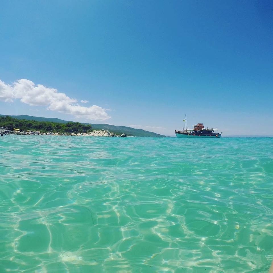
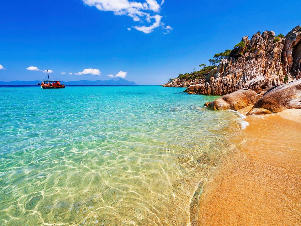
Continuing our route always along the seaside and after we pass over Spalathronissia, a complex of islands, and the beaches Tristinika and Destenika, we reach the village Toroni at 78 km. from Moudania with its marvellous long beach.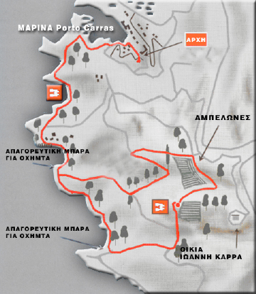
Toroni Information area
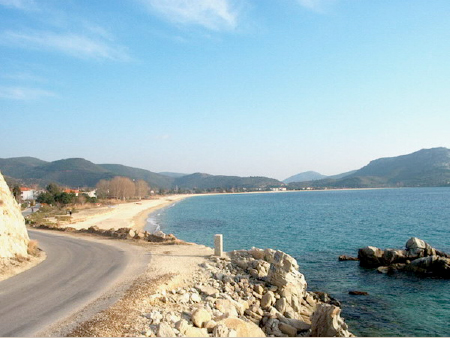 Toroni is built on the ruins of the ancient town of which very few still exist, but which show its power and growth. One of the most visited places in northern Greece, Toroni is famed not only for its almost tropical beaches, but also for its position in Greek history. The present-day settlement bears the name of ancient Torone, which was colonized from Chalcis in the 8th century BC and flourished in the Classical period. Excavations that have been carried out on the area brought to light sections of the fortifications of the ancient Torone, including a round tower and the walls of the acropolis. Mt Itamos, thick with pine and plane trees, looks proudly over the virgin coastline. It is one of the few areas in Greece where diving is permitted.
From Toroni, if we continue southeast on the coast road, we pass through the village Porto Koufo.
Porto Koufo Information area
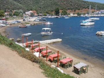 Porto Koufo, a small picturesque harbor built in a deep niche in the sea. Its construction is such that in the harbor area no sea sound can be heard. Thoukididis , the ancient Greek historian, mentions the place as the “kophos limen” which means the silent harbor. And indeed Porto Koufo, with its rocky shores containing large caves, is one of the safest natural harbors in Greece. Greenery surrounds this seafront village whose residents and visitors revel in the sight of crystal-clear waters lapping onto a long sandy beach. Fishing boats loll about at the harbor as their owners shake out their nets, smiling and laughing no matter what the day’s catch.
Walking mountain routes (11) in Sithonia 4
From Porto Koufo (ΠΟΡΤΟ ΚΟΥΦΟ) another hiking route starts along the west coast of the peninsula and it continues on rich in flora and fauna goat paths to end up on the furthest south top in the peninsula, the Kapros (ΚΑΠΡΟ), where one can find remnants of a concrete aqueduct, as well as bases of antiaircraft weapons since World War II. The view from Kapros is breathtaking since we can admire both sides of the peninsula. When the atmosphere is bright, one can see all the way to Sporades islands at the southwest. (Altitude 273m).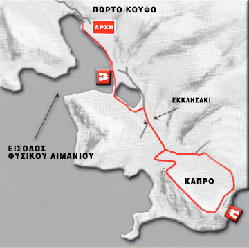
Sikia Information area
Then, overpassing cape Drepano, at the furthest south end of the peninsula, at 88 km. from Moudania driving the way we did and 98 km. from Moudania having driven through the other side of the peninsula along Siggitikos gulf, we come to beautiful Kalamitsi, Klimataria and enchanting Kriaritsi, endless sandy beaches on Siggitikos gulf.
Then, after Linaraki beach, Tourkolimionas bay, we end up in Sikia, the biggest village of Sithonia, 3 km. west from our route, named after a huge fig tree (sykia means fig tree) that was just outside the village. We find the 19th century traditional settlement of Sikia, or ‘Logos’ as was named by some Athonite documents of the Byzantine period, one of the largest villages in Sithonia. Today the village has to show to the visitor its parish church, dedicated to St. Athanasius, with its carved wooden shrines. The beautiful beach of Sikia, is 3 km away from the village. To the west of the village, on the “Koukos” hill, there are remains of a fortress and evidence of a prehistoric settlement. On this site, in September 1987, began a systematic excavation of an early Iron Age cemetery (10th to 8th BC centuries). So far many tombs have been investigated and the grave offerings, which have survived are of exceptional interest.-Koukos, a hill on the west end of the village, where a prehistoric settlement existed, as well as the windmills on Sykia beach.
-The ruins of a Byzantine temple in the settlement Episkopi at the south end of the settlement are also worth visiting. In 1821 the population of the village was the first in Halkidiki to rebel against the Turks and the village was destroyed, while army chieftain Tsamis Karatassos burnt the village church with the Turks inside it.
-Koukos, a hill on the west end of the village, where a prehistoric settlement existed, as well as the windmills on Sykia beach.
-The ruins of a Byzantine temple in the settlement Episkopi at the south end of the settlement are also worth visiting. In 1821 the population of the village was the first in Halkidiki to rebel against the Turks and the village was destroyed, while army chieftain Tsamis Karatassos burnt the village church with the Turks inside it.
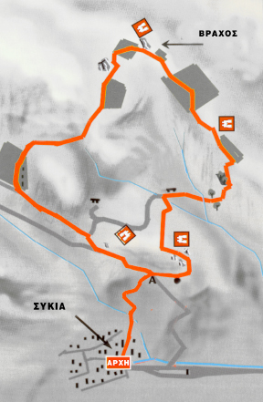
Walking mountain routes (12) in Sithonia 5
One more 4 hour walking route starts at Sikia (ΣΥΚΙΑ) and following a circling and steep but safe path over the north side of the village on goat tracks, it offers an enchanting view of the village and the surroundings (4 hours, elevation 345m).
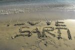
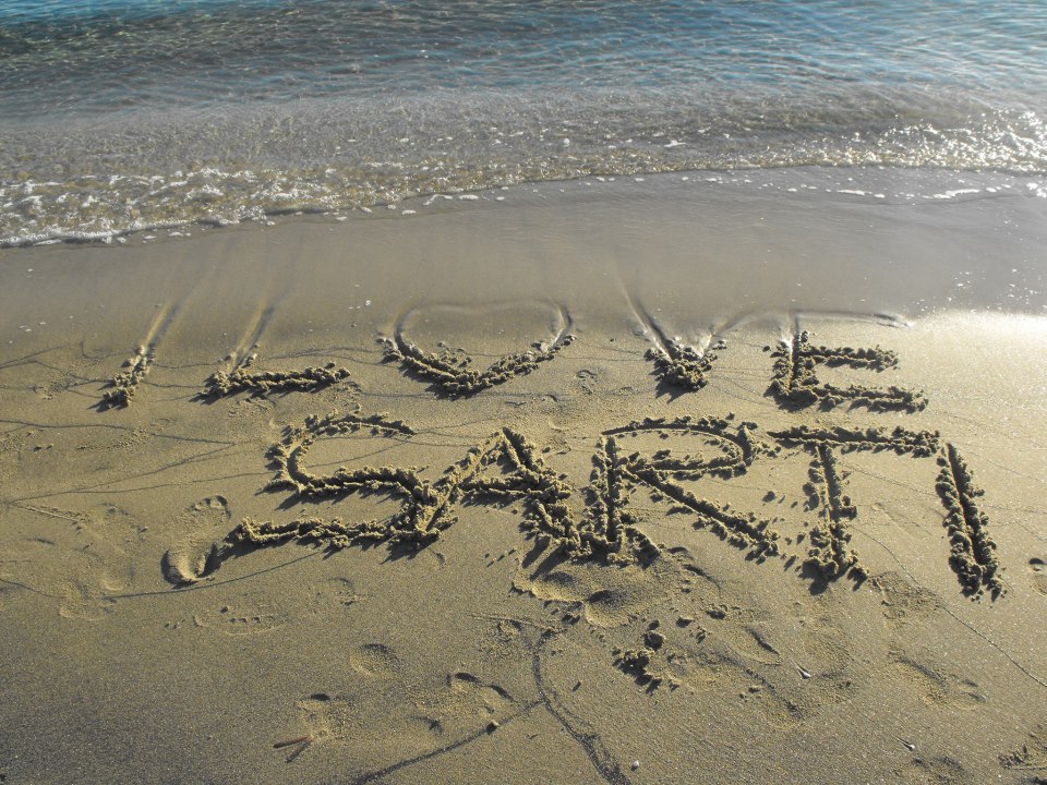
From Sikia we return to the main road and after an 10 km. long lace of small beautiful bays we reach Sarti.
Sarti Information area
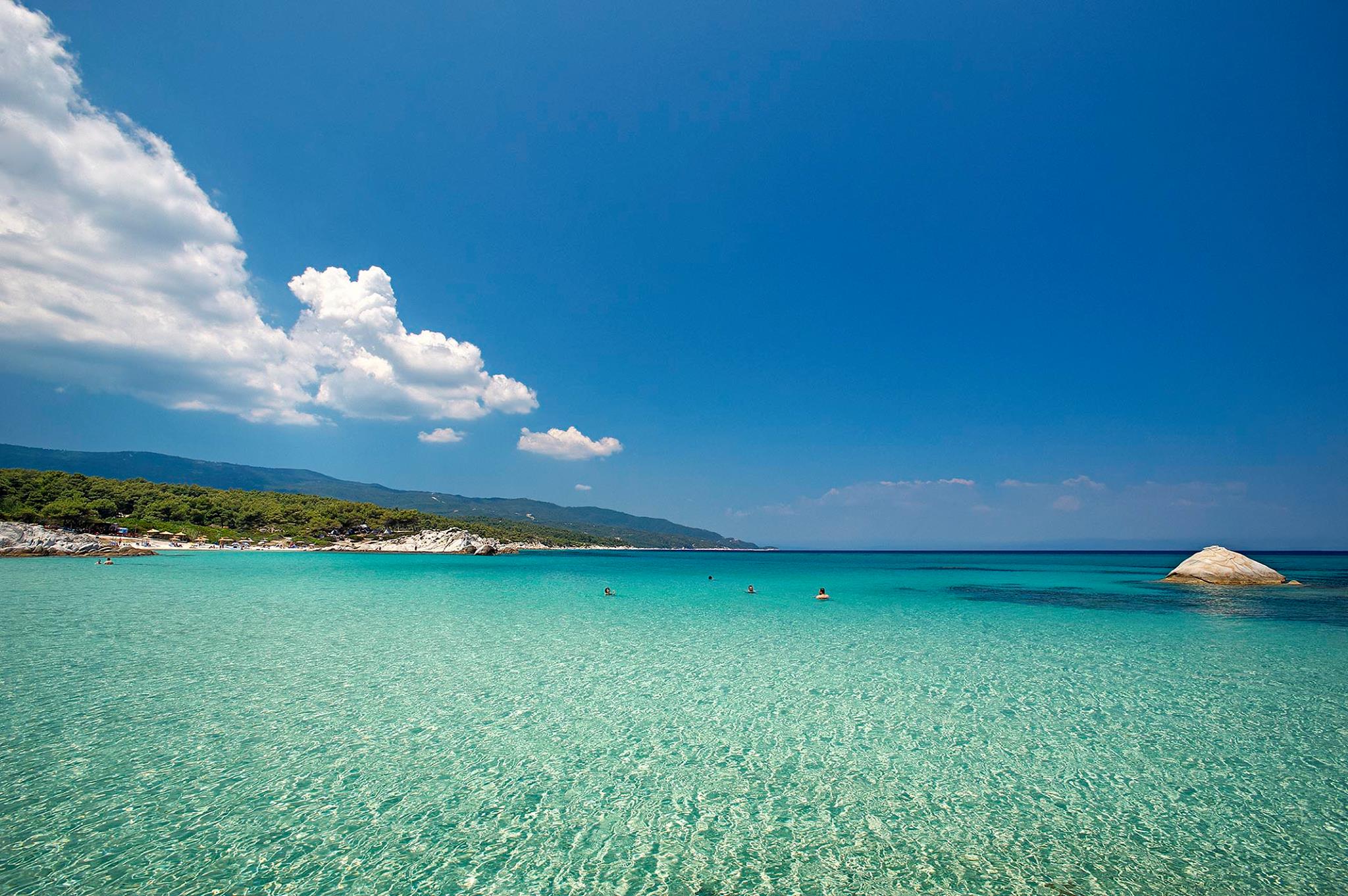
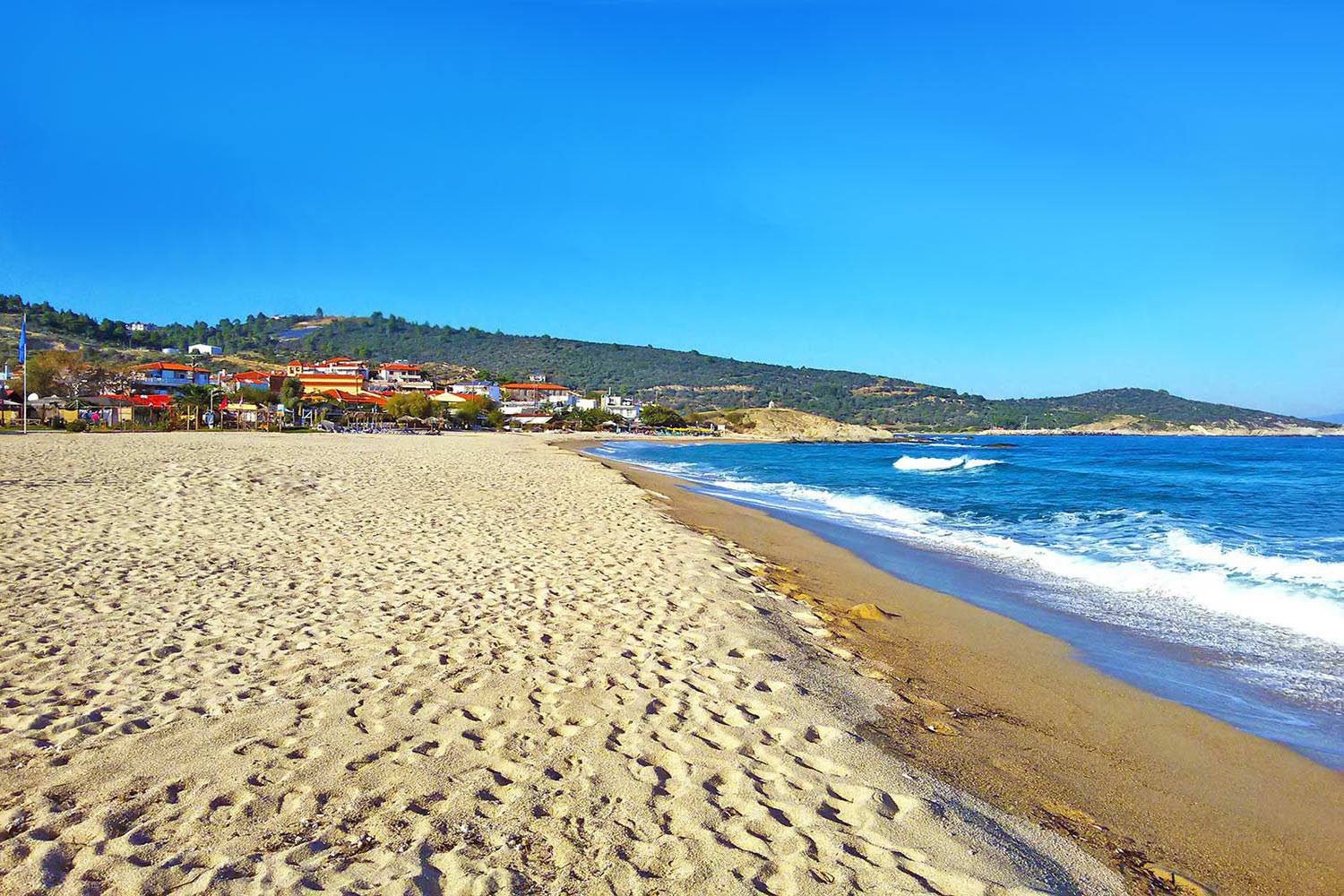
Sarti, a village built in the general area of ancient Sarti, with deep bluegreen waters and intense tourism in the summer time. At 135 km. from Thessaloniki the town has recently become an extremely attractive resort and the visitor’s impression on entering the village is quite breathtaking.
One can see the enormous beach with a crystal blue green sea and the impressive green mountains surrounding the village. If our visit concurs with the “Dekapentavgousto” (15th of August) we will have the opportunity of enjoying ourselves at the traditional fair honoring Virgin Mary.
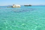
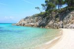
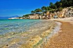
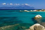
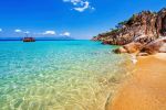
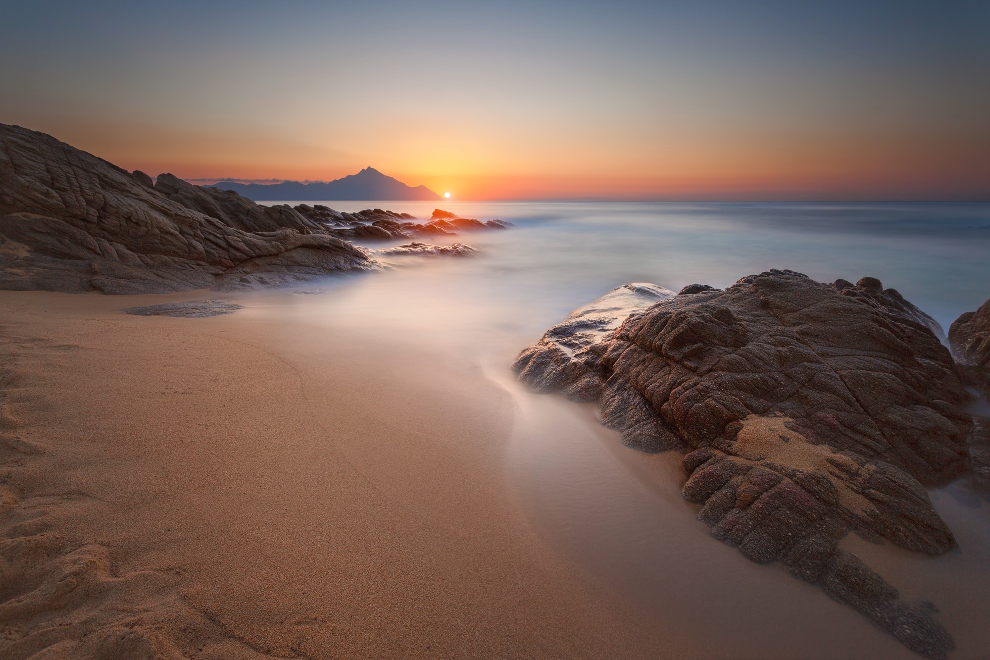
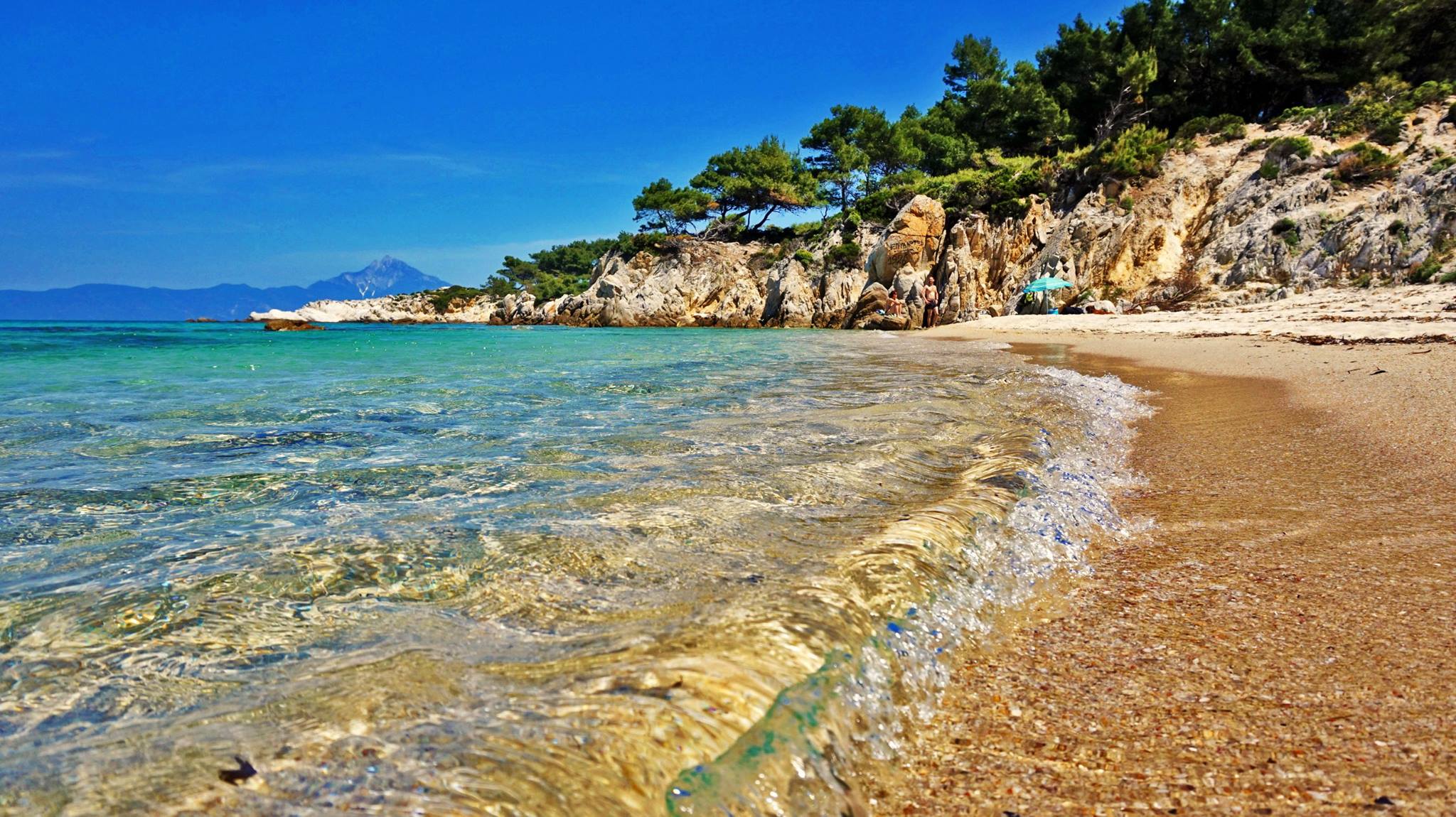
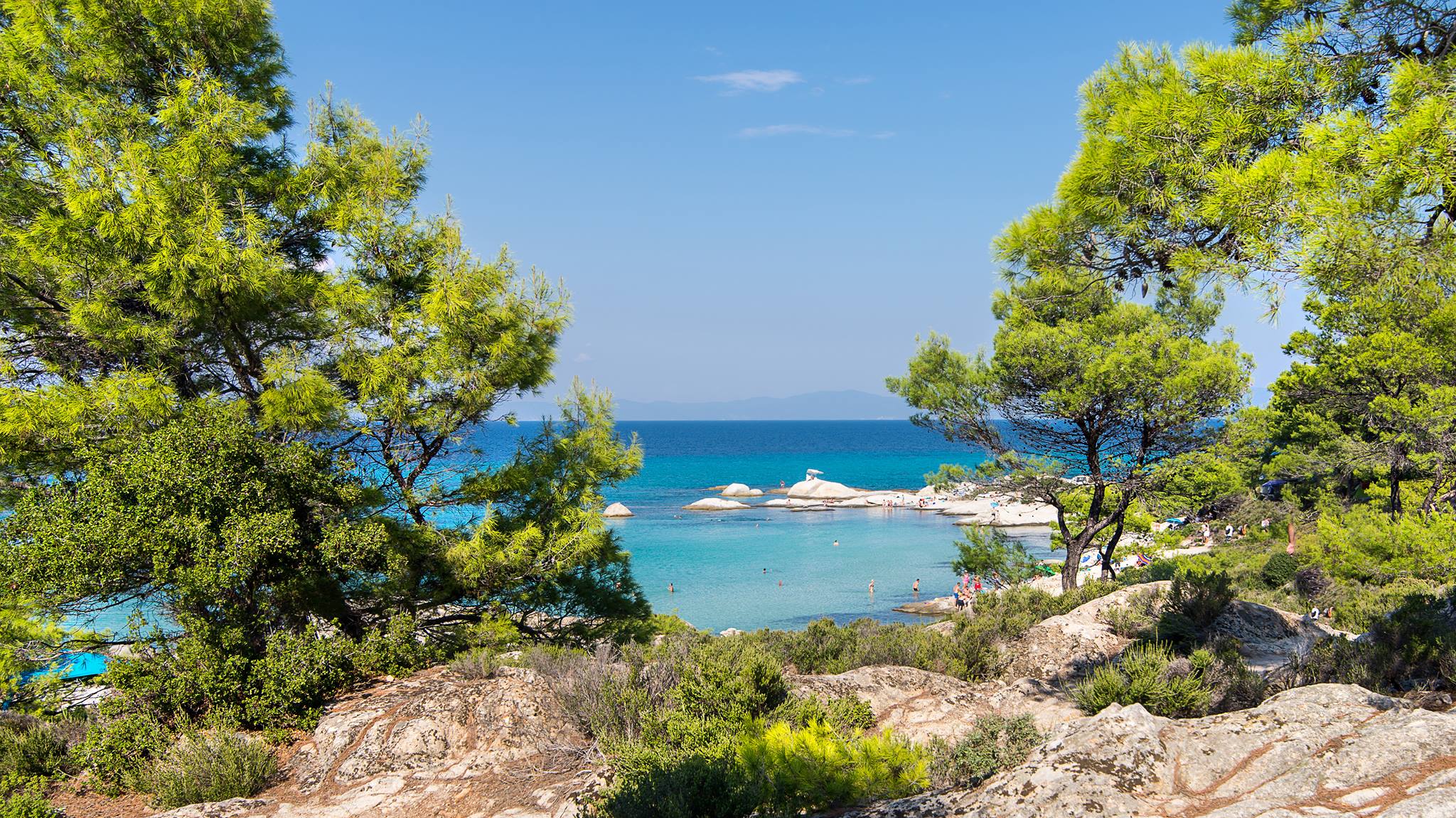
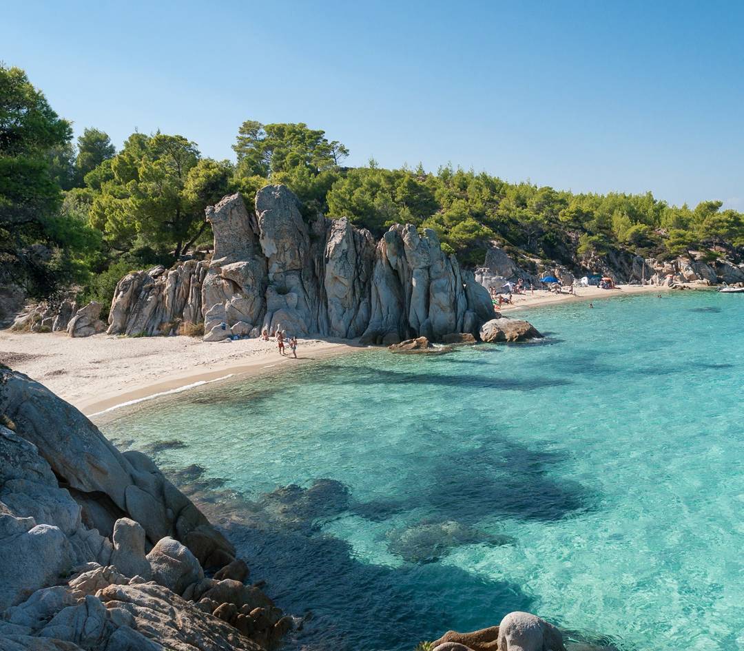
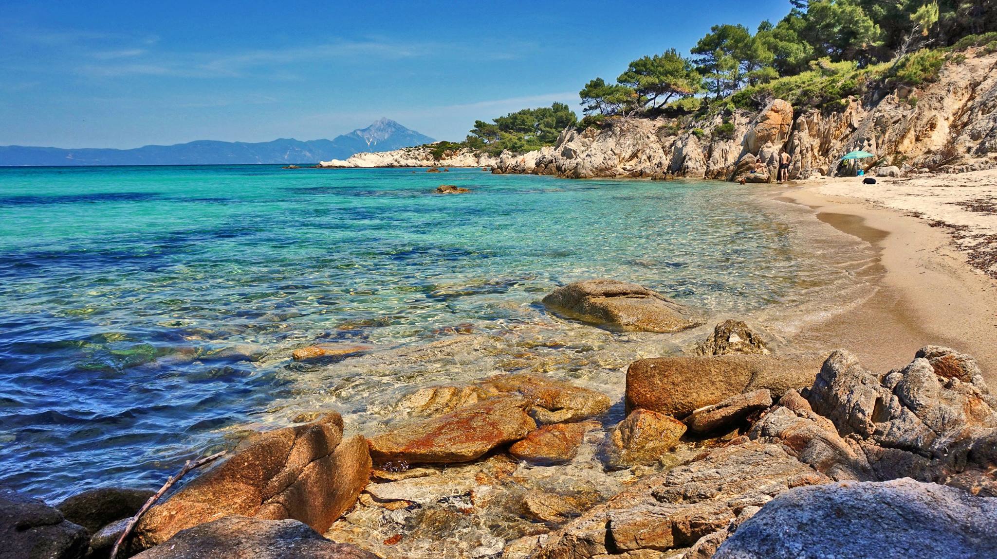
Three km. norther and after passing along Ahlada beach with its small marina, we find beautiful Platanitsi and 4 km. later Armenistis beach with its startling white stones in the bluegreen water.Lovers of wild nature and breathtaking beauty should not neglect visiting beaches like Kavourotripes, Armenisti and Platanitsi. Crystal-clear waters, white sandy beaches and secluded coves leave the visitor unforgettable memories. The sun mirrors upon the sea, the sky changes a myriad of colors at sunset, the sand shimmers on the beaches, wet by the deep-blue waters and the scattered pebbles shine in elegance among the waves that reach the seashore.
Vourvourou Information area
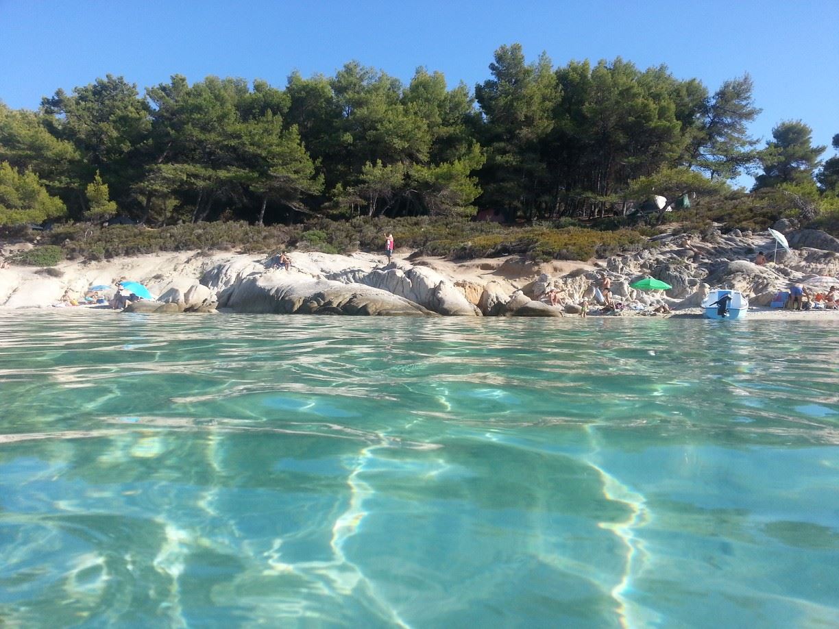
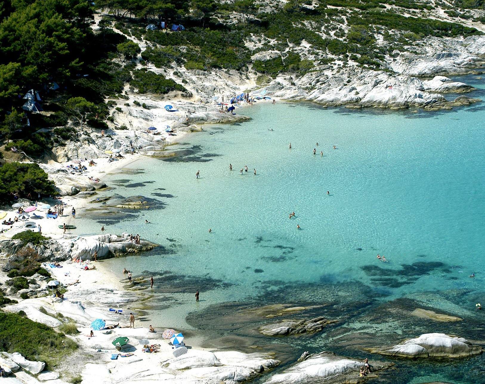
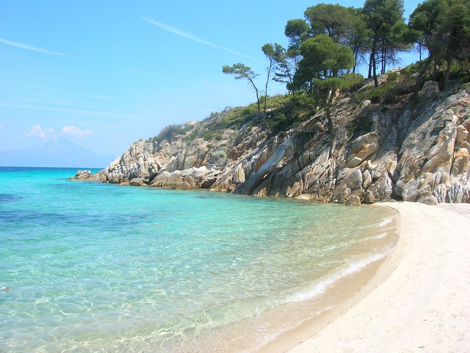
Fourteen km. norther we reach Vourvourou, a summer settlement, drowned in pine trees and olive trees, after we first pass from the wonderful beaches Lagonissi, Demetrakia, Fteroti, Karidi, Pnevmatiko and Platani, among which we can visit two old parts of the Agio Oros monasteries of Koutloumousiou and Zografou. We should also visit the nine islands that lie in the bays from Vourvourou to Ormos Panaghias, which are Ampelitsi, Kalogria, Peristeri, Aghios Issidoros and the biggest of all Diaporos. The seashores of all these islands are equally lacy as the ones they face on the main land and some of them are isolated, too.
Vourvourou is known for its natural beauty. During the 60’s the teaching staff of the University of Thessaloniki, developed a holiday resort in Vourvourou, known nation-wide for its revolutionary design and respect for natural surroundings. Visitors can enjoy a beautiful scenery and should also visit the chapel of Panagia.
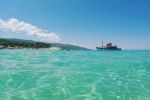
Continuing north and passing from Kounia beach, Livari beach, which is a natural sealake, Karagatsi and Galini beach, finally, after 6 km. from Vourvourou, we find Ormos Panaghias, which is a picturesque harbor from which cruises start that take us around Mount Athos with its picturesque monasteries that literally hang from the steep tops of the peninsula’s mountains and which one can admire during these one-day cruises.
Following our route north we reach Agios Nikolaos, a small inland and romantic town with traditional houses of the 19th century on old pebblestoned streets. We can also visit the old churches of St. George and St. Paraskevi. The area is well known for its excellent production of wine, tsipouro, honey and olive oil. Continuing north through an imposing drive with tall trees on each side of the road, we arrive at Salonikiou beach, a wide open bay, ideal for sailing. From Salonikiou beach we have two choices. One is to follow the road west up on the mountain to Metanghitsi, 26 km. southwest of Polygyros, among olive trees and vine trees, from where we can continue north in the mountain and visit westwards the small villages Plana, Smixi and Miliada on a route surrounded with pines and, maybe, 6 km. norther the bigger village Megali Panaghia (17 km. north of Salonikiou beach), or maybe, continue eastwards from Plana through Aghios Ioannis Prodromos up to, 7 km. easter, Pyrgadikia. Second, we can continue north from Salonikiou and after an 8 km. drive, we arrive at Pyrgadikia, a picturesque village built on the top of the hill above the sea and where gradually the houses have reached the seashore. Following the country coast road and passing above cape Arkouda we find the village Develiki on the seaside with its beautiful sandy beach. From there we can either turn west up on the mountain to Gomati and from there to Megali Panaghia at the top of mount Holomontas, or we can continue east to Ierissos, the gate to the third leg of Chalkidiki Athos, or, as it is better known, “The Holy Mountain”.
SOURCES www.halkidikiguide.gr
Portal of the Region of Central Macedonia, regional authority of Chalkidiki
150 close-up photos from the nicest wild flowers of the area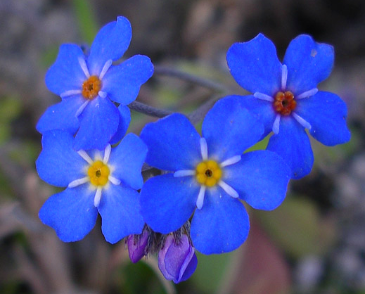


